When we first moved here I spent hours scouring through people's blogs and instagram trying to find things close by to see. When I came across someone's pictures of Bastei Bridge my jaw dropped to the floor. We HAD to go. And soon. Fast forward 8 months and we finally got it to fit in our busy schedules! It's just 20 minutes away from Dresden, but finding an address to plug into the GPS was impossible. The WWW let us down! Luckily there were brown tourist attraction signs clearly marked all the way to the parking lot.
At first we thought we'd have to hike 45 minutes straight up hill, because that's what it says in Rick Steves. But then we found out that's just for people who don't have a car and are trying to reach the bridge by bus. But even then, are there not buses that go to the parking lot and hotel at the top??? Anyway, we miraculously found Saxon Switerzerland National Park. Twenty miles southeast of Dresden, the Elbe River cuts a scenic swatch through the beech forests and steep cliffs of Sächische Schweiz National Park. Elbe Valley Sandstone was used to build Dresden's finest buildings including the Frauenkirche and Zwinger as well as Berlin's famous Brandenburg Gate.
Our first lookout destination... my heart was beating so fast!
So. Cool.


On we went in search of the best view of the bridge. Stairs carved into stone and manmade stairs.
No words.
At last. The Bastei Bridge. We found it. We love it. It's everything we hoped it would be and more!

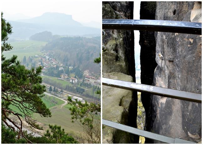
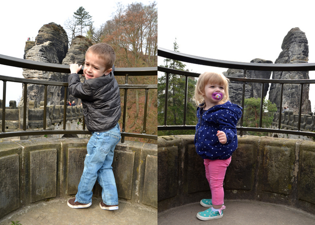
We held on to Fox and Jane for dear life. This place was NOT kid friendly, the bars could snap with the right amount of pressure, and they were spaced super far apart even adults could slip right through them. The other people there probably thought we were nuts. But we were holding onto them like none other. Here is a view from the bridge looking down at Kurort Rathen.


During the Dark Ages, the region was settled by Slavs and was part of the Kingdom of Bohemia during the Middle Ages. About 1000 years ago Bohemian-Saxon Switzerland was the borderland of three Slavic tribes. The Nisane tribe (east of the Elbe from Dresden to Pirna), the Milzane tribe (from today's Upper Lusatia) and in the south the Dacine tribe shaped the political and economic landscape at that time. It was not until the 15th century that the area now called Saxon Switzerland came under Saxon hegemony when it became part of the Margraviate of Meissen with boundaries roughly corresponding to those of today.
People actually lived on top of these rocks and there are remains of the Felsenberg Neurathen. Neurathen is the largest medieval rock castle of the Saxon Switzerland. The first time it was mentioned was in 1289 documents when the castle was in the possession of various Bohemian noble families until after several battles in 1469 it passed to the Electors of Saxony. Since their buildings, as with most rock castles of the Elbe Sandstone Mountains, consisted largely of wood, only the sculptured spaces, passages that are cistern, and the ceiling supports remain. Since 1906 the area has been repeatedly investigated archaeologically.
There was fascinating information about the spaces and crevices that were used in the Dark Ages as well as models and found artifacts.

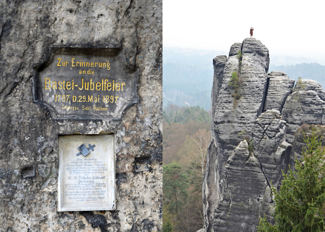
Chris thought that was a real dude at first. Nope, just a weird statue of someone doing the monster dance. How they got that up there, the world may never know.

There was a small souvenir and snack stand so we got some lunch before the long drive home.
I got currywurst mit pommes (curry dog with fries) and Chris got a bratwurst mit pommes. So good.
I'll end with a final shot of the Bastei Bridge:
Wow. Just, wow.


